 The environmental data provide supporting data that may
be of interest. Most of this data is also
available in text files, as explained in the "Data files"
section of the Introduction.
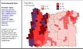
The data consist of rainfall, temperatures, and, to a limited extent, the growing season and level of snowfall. The data have been correlated to hexagons and squares to give a metric for the same geographic units at which the atlas data was collected.
Dragging the mouse across the map causes the hexagon number to be displayed in the small status window at the lower left of the screen. Clicking on the map brings up a detail map of the hexagon.
 Clicking on a selection in the list brings
up a map of that data. The tables option also shows the data in a list format.